Uwharrie Trail Map and GPX Downloads for National Forest Hiking Routes
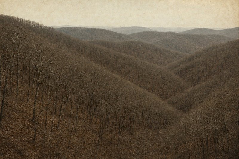
An Uwharrie trail map earns its place in a pack for a reason that surprises people: the Uwharries are low and almost uniformly wooded, so there is very little to navigate by. This page collects the map sheets kept from the original guide and the notes that went with them.
The Uwharrie National Forest covers roughly 50,000 acres of the North Carolina Piedmont across Montgomery, Randolph and Davidson counties — a long way inland from the Croatan coast, and a completely different kind of walking.
01 — Map sheetsThe Uwharrie trail map sheets available to download
Three large-format sheets were kept on the original site and are preserved here at their original addresses, so older links and printed references still resolve. Each is a scan of roughly 16 by 24 inches, sized for printing rather than for reading on a phone.
- Uwharrie sheet A1 — 5.1 MB PDF — northern sheet: the Birkhead Mountains Wilderness, from the Tot Hill Farm Road trailhead south past Coolers Knob Mountain, with the Robbins Branch and Hannahs Creek connector trails and the Thornburg trailhead
- Uwharrie sheet A2 — 5.3 MB PDF — middle sheet: the central recreation-trail corridor around Ophir, with the Jumping Off Rock trailhead on Flint Hill Road and the ridgeline over Dark, Horse and Morris Mountains
- Uwharrie sheet A3 — 4.7 MB PDF — southern sheet: the NC 24/27 trailhead at the southern end, the Dutchman's Creek loop and the Wood Run area, with Badin Lake and its shoreline campgrounds on the western edge
These are scans rather than vector maps, so they will not show any reroute made since they were drawn. Treat them as the historical reference they are, and check the current Forest Service page for the Uwharrie National Recreation Trail before committing to a route — and the official Uwharrie recreation guide (PDF) for the current campground inventory. For anyone assembling a printed set, each download is full resolution and holds up well at A3 or larger.
Sheet noteThe three sheets tile the forest north to south in numbered order, all drawn at 1:24,000 on a UTM grid with the trail overprinted in red. The sheet letter is printed at the top edge of each map.
02 — Main routesHiking the Uwharrie National Forest: the main routes
The Uwharrie National Recreation Trail is the spine of the forest — roughly 20 miles running broadly north to south, crossing a succession of low ridges and the creeks between them. It is not a mountain walk in any dramatic sense. The interest is in how old the range is, worn down over an immense span of time to something closer to steep hills than peaks.
Dutchman's Creek Trail leaves and rejoins the recreation trail to make a longer connected circuit, which is why so many trip reports describe a loop rather than an end-to-end walk. Together they make a comfortable two- or three-night outing, and the road crossings allow shorter sections.
Badin Lake
The Badin Lake area on the western side carries a short loop trail, a developed campground and, separately, a busy off-highway-vehicle network — worth knowing in advance, because the vehicle areas are audible from some of the walking. The lakeside sections see the most day-hiking traffic in the forest.
Birkhead Mountains Wilderness
The northern block is designated wilderness: no vehicles, no bicycles, minimal signage, and far less traffic than the main corridor. It is the closest thing the Piedmont offers to genuinely quiet walking, and a map matters more here than anywhere else in this national forest.
03 — Digital tracksGPX tracks, and what to download onto a phone
The sheets on this page are paper scans, so a GPX track has to come from elsewhere. Most walkers build one in CalTopo or Gaia GPS from the published route, then download the surrounding area for offline use before leaving the trailhead — mobile coverage across the forest is patchy and unreliable on the ridges.
Carrying both is the sensible combination. A phone gives position, which is exactly what is hard to establish by eye in continuous woodland; the printed Uwharrie trail map gives context a screen cannot, and does not run out of battery on the third afternoon. Anyone who has tried to relocate a faint junction in the Birkheads on a grey afternoon will recognise why both belong in the pack.
04 — Beyond the corridorOther Uwharrie hiking trails and nearby forest land
Beyond the recreation-trail corridor the forest holds a scatter of shorter walks and connectors, along with the primitive campgrounds at West Morris Mountain and the Uwharrie Hunt Camp that serve as staging points. Those sit on the Uwharrie camping page, and the wider overview is on the Uwharrie National Forest page.
Anyone new to the area usually starts by looking for a single definitive Uwharrie trail map and discovers there is no such thing. The official Uwharrie National Forest map shows the whole unit at a scale useful for driving and orientation; the sheets here show more trail detail across smaller areas. Between them they cover the Uwharrie hiking trails adequately, and most regulars end up carrying one of each. The Uwharrie hiking trails on the eastern side of the forest are the least well documented of the lot.
For state-level context — the Mountains-to-Sea Trail, the Foothills Trail and the other routes collected here over the years — see the trails index. Coastal walking, including the Neusiok Trail and the Weetock Trail, sits in the Croatan section instead. The state forest service page covers burn permits and the educational state forests, which are a separate system from the national forests entirely.
05 — QuestionsCommon questions about the Uwharrie trail map and GPX files
Where can I download an Uwharrie trail map?
Three large-format sheets kept from the original guide are linked in the map-sheets section above. For the current official version, the Forest Service publishes an Uwharrie National Forest map through the National Forests in North Carolina office, which reflects any recent reroutes.
How long is the Uwharrie National Recreation Trail?
Roughly 20 miles, running broadly north to south through the forest. Combined with the Dutchman’s Creek trail it forms a longer connected route that most people walk over two or three days.
Are GPX tracks available for the Uwharrie hiking trails?
The sheets here are scanned paper maps rather than digital tracks. Most walkers build a GPX file in CalTopo or Gaia GPS from the published route and carry the paper sheet as a backup, which is the more reliable combination in terrain this uniformly wooded.
Is the Uwharrie National Forest map the same as the Birkhead map?
No. The Birkhead Mountains Wilderness sits in a separate northern block of the forest with its own trail network. Of the three sheets on this page it is sheet A1; the main recreation-trail corridor runs across sheets A2 and A3.
Do I need a permit to hike or camp here?
No permit is required for hiking or for dispersed backcountry camping. The developed campgrounds charge a fee and some operate seasonally.
Does hunting season affect hiking in the forest?
Autumn and early winter carry the heaviest pressure, and this forest is genuinely well used by hunters. Blaze orange is sensible from October through early January, and the NC Wildlife Resources Commission publishes the season dates each year.