The Other Carolina Trails: Mountains-to-Sea, Foothills and Panthertown
The material collected here has never been confined to two forests. This is the signpost page for the other routes that came up repeatedly over the years — the long ones, the mountain ones, and the ones people asked about after finishing something closer to home.
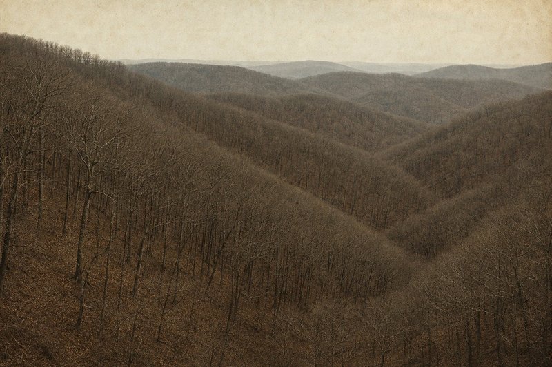
01 — Mountains-to-SeaThe Mountains-to-Sea Trail
The MST is North Carolina's long trail, running from the Great Smoky Mountains to the Outer Banks across roughly 900 miles of mountain, Piedmont and coastal plain. It is the state's reference long-distance walk and the thing most Carolina walkers measure other routes against.
It also runs straight through the forest this guide starts in. The Neusiok Trail is Segment 16 of the Mountains-to-Sea Trail in its entirety, and the Forest Service designates the MST through Croatan National Forest as a National Recreation Trail. Anyone walking the Neusiok end to end is section-hiking the MST whether or not they set out to.
That makes the coastal segment an unusually accessible entry point to a thousand-mile trail: 20-odd miles, road crossings that break it into days, and three shelters. Route information for the wider trail comes from its own maintaining organisation, which keeps it current in a way a third-party page cannot.
02 — FoothillsThe Foothills Trail
Roughly 77 miles along the Blue Ridge Escarpment on the Carolina border, and a genuine step up in seriousness from anything in this guide: real elevation, real remoteness, and weather that changes with height rather than with the tide.
It was a recurring subject of discussion here, generally from people who had worked up to it through shorter Carolina walks. That is a sensible progression.
NoteEscarpment weather is not coastal weather. Plan for cold and wet at elevation in months when the coast is mild.
03 — PanthertownPanthertown Valley
A high valley in the Nantahala region of western North Carolina — granite domes, waterfalls, and a dense braided trail network that has a reputation for disorienting people. It is spectacular and it is not self-navigating; a map and the willingness to consult it are both required.
Anyone accustomed to the Uwharrie will find the gradient a change, and anyone accustomed to the Croatan will find everything a change.
04 — State landState parks and state forests
North Carolina's state parks and its educational state forests are separate systems from the national forests, with their own rules — generally stricter on camping, often better provided with facilities. The distinction matters most for an overnight: dispersed camping without a permit is a national-forest arrangement and should not be assumed elsewhere.
The state forest service page covers that split, along with burn permits and the educational forests. Coastal walking is on the Croatan page, and the inland forest on the Uwharrie page.
05 — ChoosingHow the coastal trails compare
The three routes above and the two forests covered in the rest of this guide are not really the same activity, and treating them as a single ladder of difficulty misses what separates them. Distance is the least of it. The Croatan asks for tolerance of heat, insects and standing water over ground that barely rises; the Uwharrie asks for steady climbing on dry ridges; the escarpment and the Nantahala ask for mountain judgement about weather that can turn in an afternoon.
What does transfer between them is the boring part — how your feet hold up over consecutive days, whether your sleep system actually works in the cold, how much water you drink when you are not measuring. Those are cheaper lessons to learn on a two-night walk close to home than on a week at elevation, which is the honest argument for starting with the short coastal routes rather than a reason to think of them as lesser.
Season inverts the ranking too. The coastal walking is at its best from late autumn to early spring, when the mountain routes are at their least forgiving; the mountains come into their own through the summer months when the Croatan is close to unpleasant. Two complementary halves of a year rather than a progression. The seasonal notes set out that coastal window in detail.
06 — QuestionsCommon questions about the wider Carolina trails
Does the Mountains-to-Sea Trail cross the Croatan?
Yes — and more than crosses it. The whole Neusiok Trail is Segment 16 of the Mountains-to-Sea Trail, so a Neusiok end-to-end walk is a section hike of the MST. The Forest Service also designates the MST through the Croatan as a National Recreation Trail.
How long is the Foothills Trail?
Roughly 77 miles along the Blue Ridge Escarpment on the North and South Carolina border. It is a considerably more serious undertaking than anything in the Croatan and needs proper planning.
What is Panthertown Valley like?
A high valley in the Nantahala area of western North Carolina, known for granite domes, waterfalls and a trail network that is easy to get turned around in. It rewards a good map.
Are GPX files available for these routes?
Not from this site. Each of these trails has its own maintaining organisation, and their published route data is more current than anything reproduced second-hand would be.
Which is the best introduction to Carolina long-distance walking?
A Neusiok end-to-end or an Uwharrie loop, honestly — both are short enough to be forgiving and long enough to teach you what your kit does over consecutive days.
Do North Carolina state parks allow backcountry camping?
Policies vary by park and are generally stricter than on national forest land, where dispersed camping needs no permit. Check the individual park before planning an overnight.